Robbins TOD and Industrial Area Plan

Robbins TOD and Industrial Area Plan

Incorporated in 1917, the Village of Robbins is located in southern Cook County. The village is approximately 25 miles Southwest of downtown Chicago. Robbins, known as a historical enclave for African American settlers of the Great Migration is the original home to Robbins Airport, the first to be owned and operated by African Americans in the United States. From 1930-1933, this airport housed the only flight school at the time where African Americans could be trained as pilots and also served as a model for the Tuskegee Airmen Program during World War II. The Village is 1.45 square miles in area and has a population of 5,157. For demographic information on the Village, view CMAP’s Community Data Snapshot.

Currently, the Metropolitan Water Reclamation District of Greater Chicago (MWRD) is working on a new plan to reduce flooding and create new recreational and economic opportunity in eastern Robbins near Midlothian Creek. Residents and municipal leaders in the Village of Robbins are motivated to address flooding in a way that spurs economic development and creates a more beautiful place to live and work.  Through stormwater investments, the Village can spur economic development, reduce flooding in the surrounding neighborhoods, and connect residents to the proposed Robbins Park. The proposed plan envisions a combined stormwater management facility featuring a retention “lake” surrounded by parkland and passive and active open space, called “Robbins Park”. The lake and park would reduce periodic localized flooding in residential areas and create a unique community amenity. In addition, the Robbins Park facility would make land within a former floodplain available for new transit-oriented development (TOD) investment adjacent to the park and the nearby Robbins Metra station. Another area of economic opportunity is the underutilized industrial district Northwest of the proposed park just west of Kedzie Avenue along 135th Street. Currently, commercial and industrial land uses comprise less than three percent of the total land use in the Village.

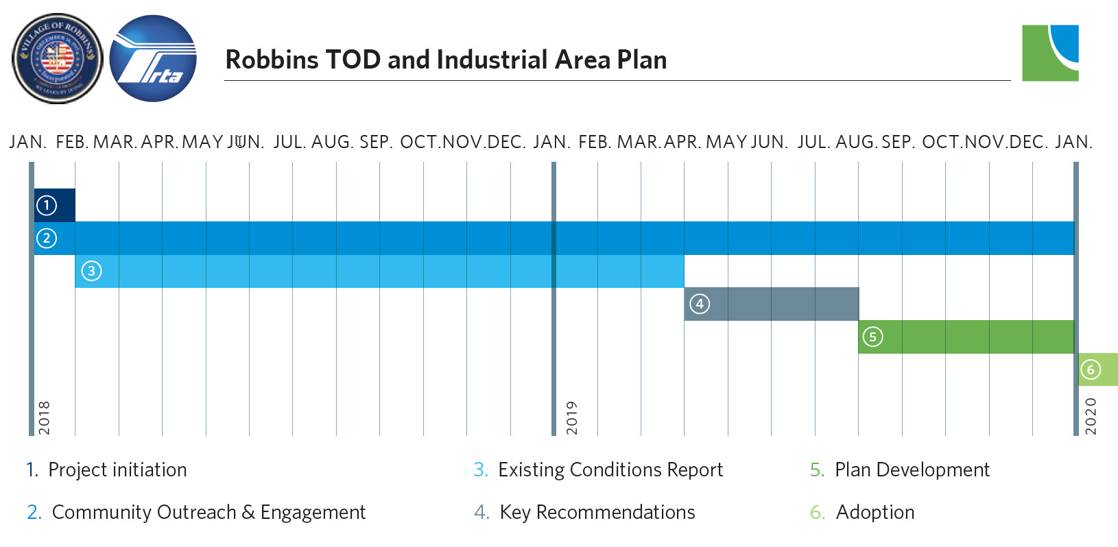
In partnership with the Regional Transportation Authority (RTA), the plan will consist of six phases to be completed in approximately 16 months:

  1. Project Initiation
  2. Community Outreach and Engagement
  3. Existing Conditions Report
  4. Key Recommendations
  5. Plan Preparation
  6. Adoption

Contacts
Dominick Argumedo, CMAP Project Manager (dargumedo@cmap.illinois.gov  or 312.386.8647)

Michael Horsting, Regional Transportation Authority (horstingm@rtachicago.org or 312.913.3159)

Darren E. Bryant, Mayor, Village of Robbins (dbryant@robbins-il.com)

Todd Stroger, Village Administrator, Village of Robbins (tstroger@robbins-il.com)

Jasmine Washington, Executive Assistant, Village of Robbins (jwashington@robbins-il.com)
 
To Top

Robbins TOD and Industrial Area Plan

Incorporated in 1917, the Village of Robbins is located in southern Cook County. The village is approximately 25 miles Southwest of downtown Chicago. Robbins, known as a historical enclave for African American settlers of the Great Migration is the original home to Robbins Airport, the first to be owned and operated by African Americans in the United States. From 1930-1933, this airport housed the only flight school at the time where African Americans could be trained as pilots and also served as a model for the Tuskegee Airmen Program during World War II. The Village is 1.45 square miles in area and has a population of 5,157. For demographic information on the Village, view CMAP’s Community Data Snapshot.

Currently, the Metropolitan Water Reclamation District of Greater Chicago (MWRD) is working on a new plan to reduce flooding and create new recreational and economic opportunity in eastern Robbins near Midlothian Creek. Residents and municipal leaders in the Village of Robbins are motivated to address flooding in a way that spurs economic development and creates a more beautiful place to live and work.  Through stormwater investments, the Village can spur economic development, reduce flooding in the surrounding neighborhoods, and connect residents to the proposed Robbins Park. The proposed plan envisions a combined stormwater management facility featuring a retention “lake” surrounded by parkland and passive and active open space, called “Robbins Park”. The lake and park would reduce periodic localized flooding in residential areas and create a unique community amenity. In addition, the Robbins Park facility would make land within a former floodplain available for new transit-oriented development (TOD) investment adjacent to the park and the nearby Robbins Metra station. Another area of economic opportunity is the underutilized industrial district Northwest of the proposed park just west of Kedzie Avenue along 135th Street. Currently, commercial and industrial land uses comprise less than three percent of the total land use in the Village.

In partnership with the Regional Transportation Authority (RTA), the plan will consist of six phases to be completed in approximately 16 months:

  1. Project Initiation
  2. Community Outreach and Engagement
  3. Existing Conditions Report
  4. Key Recommendations
  5. Plan Preparation
  6. Adoption

Contacts
Dominick Argumedo, CMAP Project Manager (dargumedo@cmap.illinois.gov  or 312.386.8647)

Michael Horsting, Regional Transportation Authority (horstingm@rtachicago.org or 312.913.3159)

Darren E. Bryant, Mayor, Village of Robbins (dbryant@robbins-il.com)

Todd Stroger, Village Administrator, Village of Robbins (tstroger@robbins-il.com)

Jasmine Washington, Executive Assistant, Village of Robbins (jwashington@robbins-il.com)
 
To Top

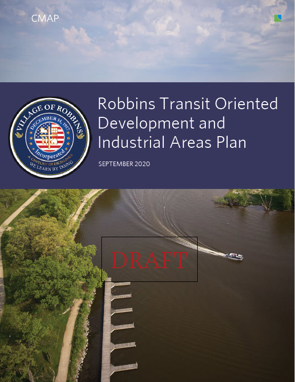
Robbins Transit Oriented Development and Industrial Areas Plan - DRAFT

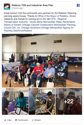
Facebook Page

Robbins Visioning Workshop Guide

May 18th Open House Poster

May 18th Open House Poster (Spanish)

Robbins Draft Existing Conditions Report

Robbins TOD and Industrial Plan Market Study

Robbins TOD & Industrial Area Map

Robbins TOD and Industrial Area Plan: Planning 101

Robbins TOD & Industrial Area Plan: TOD 101

Robbins TOD and Industrial Area Project Scope

Kick Off Worksheet

Workshop Mapping Exercise - Group A

Workshop Mapping Exrecise - Group B